Progress Tracking — Ottawa
Construction progress tracking in Ottawa
Consistent aerial documentation of your site, captured from the same planned viewpoints on a set schedule — so every update is directly comparable to the last.
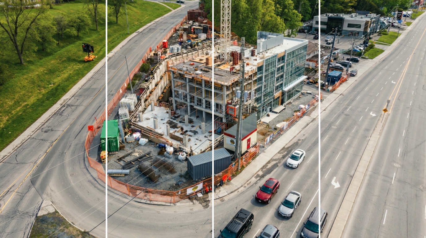
A visual record you can actually compare
Random site photos pile up but rarely answer questions. We fly the same routes and hold the same camera positions on every visit, so month three lines up against month one and change is obvious at a glance.
Each capture is delivered as an organized, dated set: wide site overviews, elevation-by-elevation coverage, and detail passes on the areas your team flagged.
- Scheduled weekly or monthly captures
- Repeatable flight paths and viewpoints
- High-resolution progress photos and video
- Dated, organized project archive
- Coverage of each elevation and key trades
- Files ready for reports and draw packages
What teams use it for
Owners and developers use the sets for stakeholder updates and lender reporting. Site teams use them to verify sequencing and settle questions about what was in place on a given date. Marketing teams use the same footage for launch and completion content.
Because everything is captured on a schedule, the archive also becomes a permanent record of the build long after handover — useful for warranty questions and future renovations.
How the schedule works
We start with a short planning call to set the viewpoints, cadence, and delivery format. From there the captures run on a fixed schedule with no coordination burden on your site team beyond access confirmation.
Most Ottawa-area projects run monthly, moving to weekly during high-change phases such as structure and envelope. You can pause or adjust the cadence between phases.
Common questions
How often should a site be captured?
Monthly suits most projects, with weekly captures during fast-changing phases like structure and envelope. We set the cadence to your schedule and adjust as the job progresses.
Is drone tracking better than site walk photos?
It is more consistent. Aerial capture covers the whole footprint from repeatable positions, so comparisons are reliable instead of depending on who held the phone that week. Our guide on progress tracking walks through the difference.
Do you work around active construction?
Yes. We coordinate access, timing, and safety with your site supervisor and plan flights that don't interrupt crews or crane operations.
How are the files delivered?
Through an organized, dated archive your team can access and share, so the full history stays in one place from groundbreaking through completion.
Related
Ready to document your project?
Tell us about your site and we'll recommend the right capture plan.
START A PROJECT